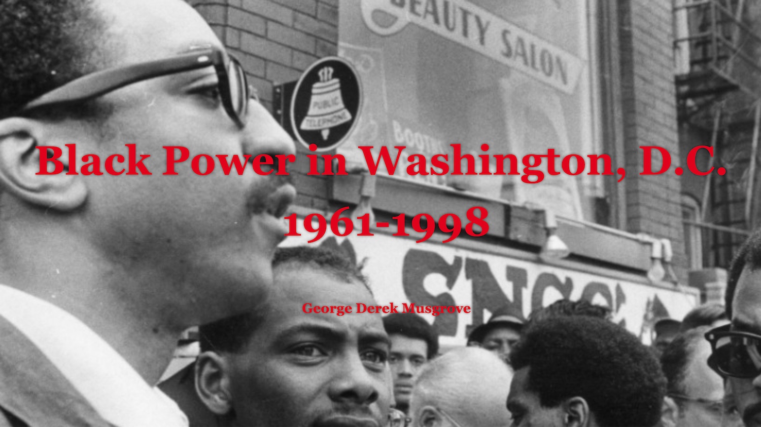
Project Description
This project is an online storytelling website by George Derek Musgrove, Associate Professor of History, to share his research into the history of Black Power in the nation’s capital since the early 1960s. The project was built upon the research related to his book, Chocolate City, co-authored with Chris Myers Asch and published by the University of North Carolina University Press in 2017.
Significance
This project is an excellent example of the value produced when scholars from any discipline engage with using new media tools to expand their storytelling capacities.
The result is a website that offers visitors the opportunity to explore Black Power in DC through text and photographs, set within the context of the city’s geography. Arriving at the site, one can scroll through a chronological narrative that takes us from 1961 to 1998.
It is filled with information, insight, and an excellent collection of photographs that organizes Dr. Musgrove’s research in a public-facing, digestible format.
Collaboration + Methods
The IRC redeveloped the website that was already produced with StoryMap web application developed by ESRI. The narrative is punctuated by links to geographic maps of Washington, DC, dotted with pinned landmarks created in ArcGIS by Dr. Musgrove and Kirubel Tolosa. These maps, also accessible through persistent tabs at the top of the site, are named: Origins, 1961-65; Black Power Movement, 1966-76; Institutionalization, 1977-80; Resurgence, 1981-98. Each link loads a map of DC, which can be explored interactively to see key locations. When visitors scroll down, however, they move through a text and photo narrative revealing locations in the narrative as it unfolds. Dr. Musgrove describes the process: “I was determined to tell a story that ranged across time and space, simultaneously. Kiru [Tolosa] and the staff of the IRC did the hard work of making that happen using programs that could achieve both of those goals and perform updates automatically to keep the site functioning!”
Funding + Outcomes
IRC Summer Faculty Research Fellowship Award funded both by the College of Arts, Humanities, and Social Sciences, and the Office of the Vice President for Research.
The website is still active and online, Dr Mudgrove shared: “Since its February 1 release, the website has been a hit. In the first ten days of February, it was viewed over 6,000 times and I have received a great deal of positive feedback from residents who lived through that moment in time and historians who study it alike.”
Researchers and Creators
Author and Lead Designer: George Derek Musgrove
Student Researcher: Kirubel Tolosa
Project Oversight: Lee Boot
Sponsor
IRC Summer Faculty Research Fellowship Award funded by
The College of Arts, Humanities, and Social Sciences,
The Office of the Vice President for Research.
Imaging Research Center, UMBC © 2024Researchers and Creators