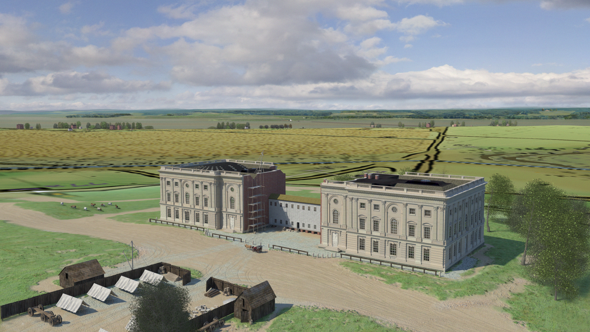
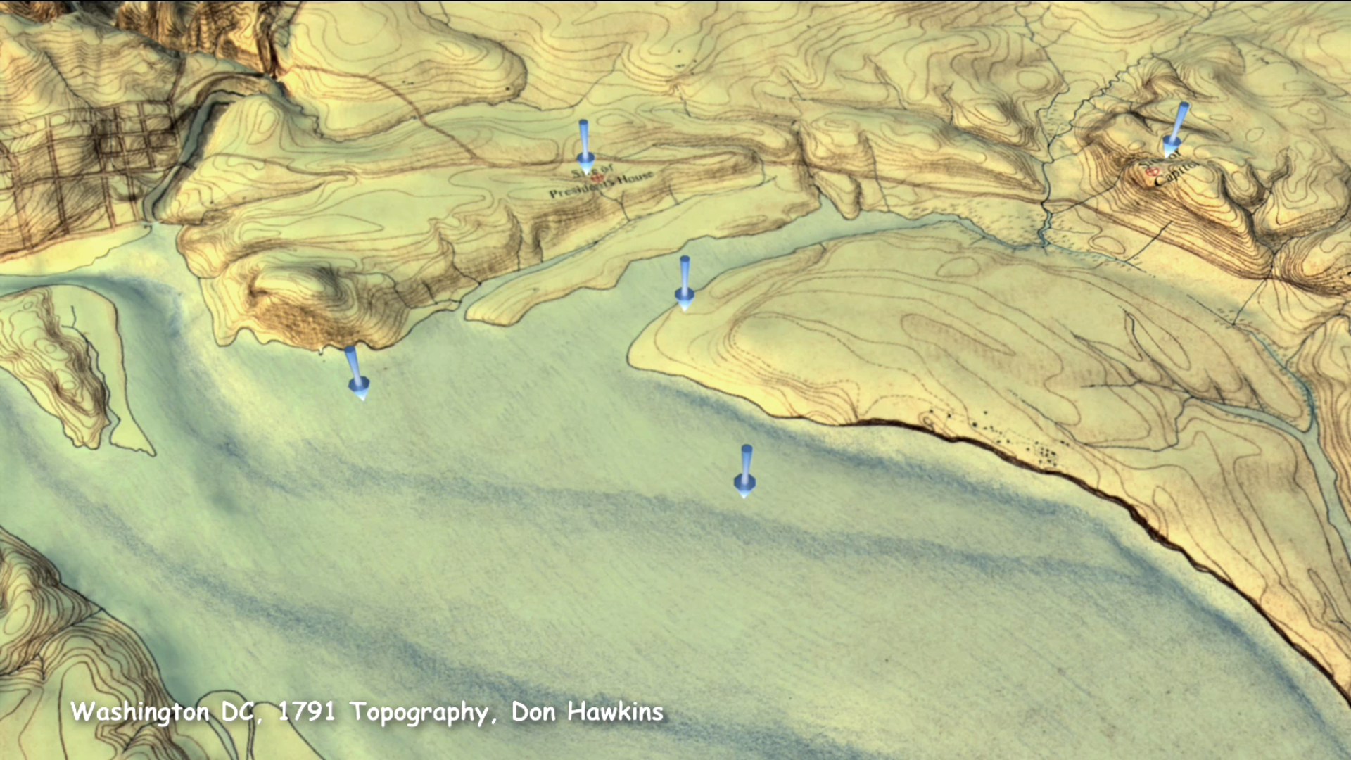
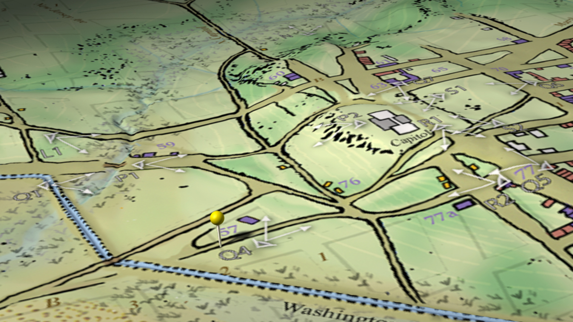
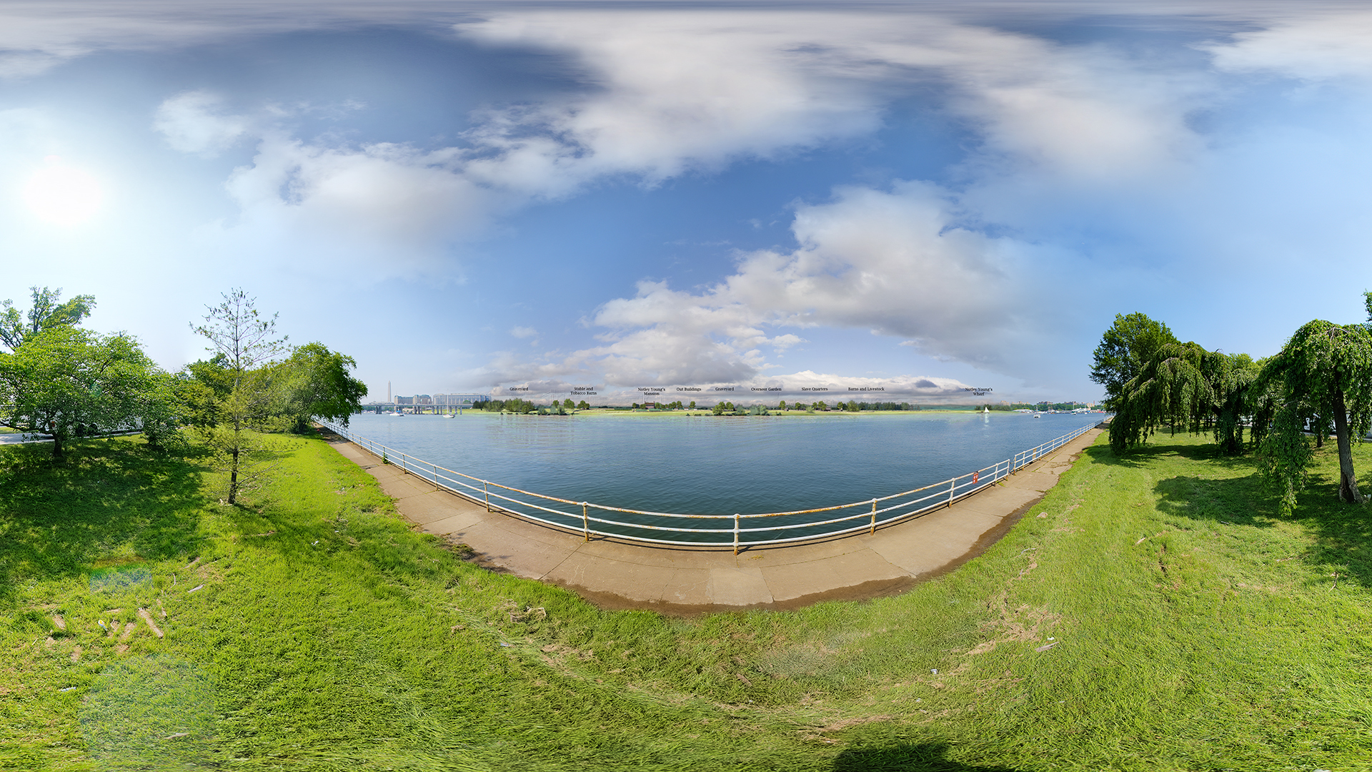
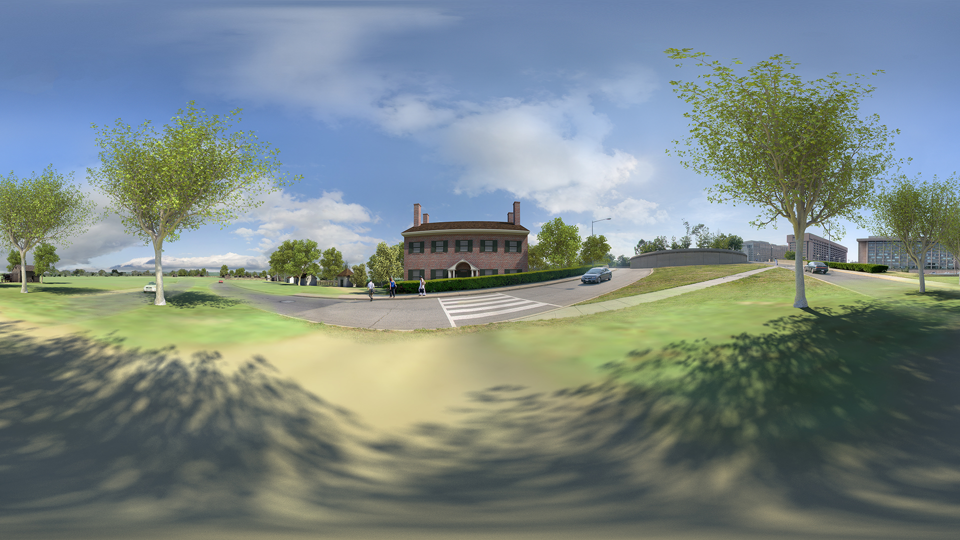
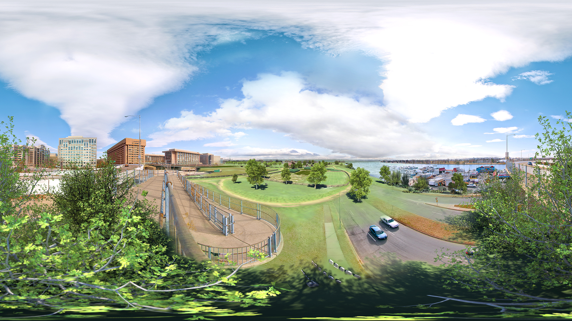
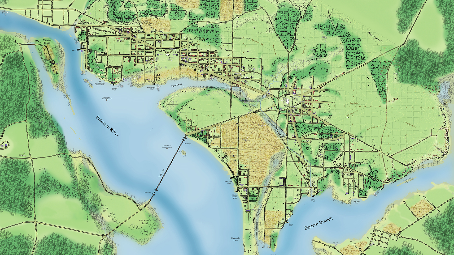
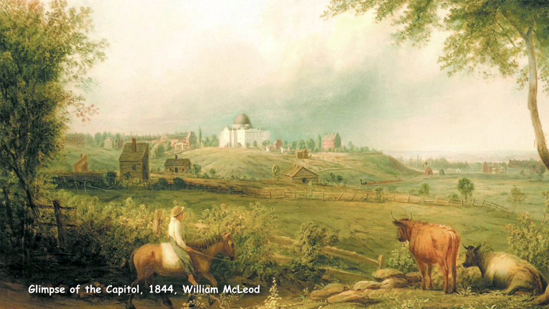
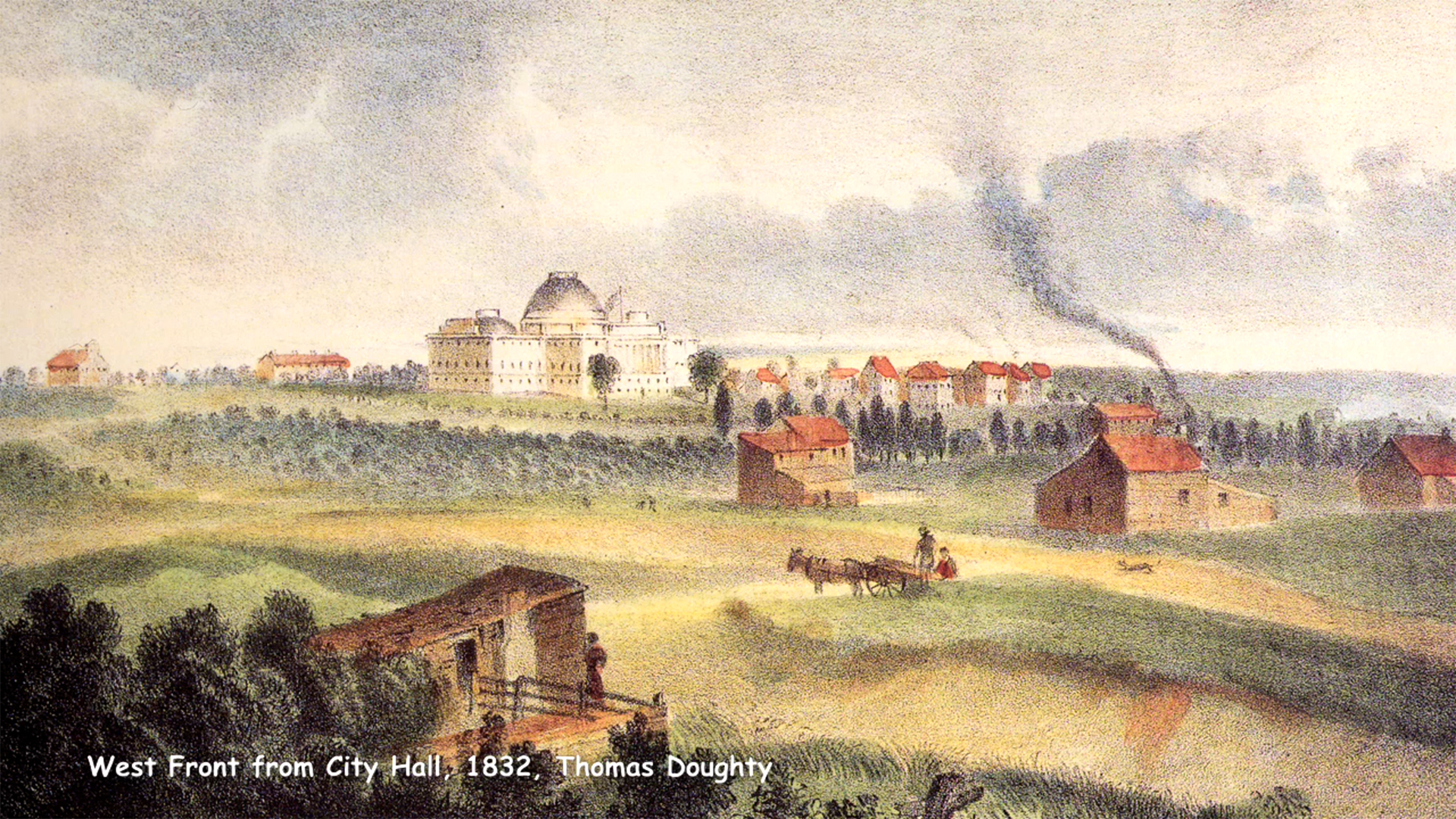
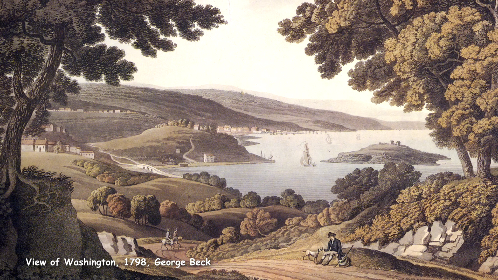
The IRC was approached to recreate virtually the area around Capitol Hill, Washington DC in 1814 for an upcoming PBS-style documentary on architect Benjamin Henry Latrobe. This re-creation proved more challenging than anticipated due to the lack of reliable visual source material. Dan Bailey, Professor of Visual Arts and former Director of the IRC, worked with architectural historians, cartographers, engineers, and ecologists to assess the often unreliable eye-witness accounts of nineteenth-century dreamers, and to recreate a “best guess” glimpse of the early city. A preliminary result of this research was exhibited as part of the Walters Art Museum’s Maps: Finding Our Place in the World.
“The early federal city is a portrait of the young country. It was new, fresh, and eager. Democracy was raw. The city was a rough work in progress. Nothing was polished. The scale of the federal city was that of a person, not of immense marble bureaucracy. There were cabins and barns on the Capital Lawn. The first fence around the Capitol was to keep the cows out. Congressmen came to town for the legislative sessions, many times sleeping 3 to a room in a boarding house, and working in unfinished buildings. People dreamed many went bankrupt, and the city prevailed. There is an evocative power to images. In making an image of early Washington DC, I want to engrave in the mind the tangled roots of this country.” Dan Bailey
Researchers and Creators
Project Director: Dan Bailey
Technical Director: Eric Smallwood
Landscape Painting: Susan Main
Students
UMBC Interns: Irene Colorado, Matt Davis, Heather Katz, Tim Montenyohl, Brian Tootle, Brian Twomey, Stephen Uithoven, Anna Young
Venue: Walters Art Museum, Baltimore MD, Map Exhibition.
Scholarship Assistance: William C. Allen, Architect of the Capitol; Peter G. Chirico, USGS; Charles A. Davis, Ecologist; Don Alexander Hawkins, Historical Cartographer; Pamela Scott, Architectural Historian
Imaging Research Center, UMBC © 2024